Groundwater is a critical water resource in the UK and globally. Its effective management and protection depend on robust hydrogeological judgement supported by scientific calculations that quantify the water budget and simulate groundwater flow. Recharge is the primary driver of hydrological models and a parameter that must be defined at the very start of any modelling exercise.
Recharge estimation methods vary widely and are influenced by climate, land cover, soil properties, and soil saturation conditions. Limited data availability and the difficulty of validating recharge estimates remain major challenges. Global data sources are key if national data are not available and the estimated recharge and soil moisture datasets unlock opportunities not only for groundwater resource assessment but also for tackling geohazard-related problems.
This Foundation for Water Research (FWR) webinar will explore the methods used to calculate recharge and the conceptual frameworks that underpin them. It will also highlight possible approaches for validating recharge estimates, for example the applications of geophysical and soil moisture monitoring techniques. We will demonstrate how recharge and soil moisture information can inform groundwater resource management and support geohazard investigations using case studies from the UK and India.
This session offers a valuable opportunity to deepen your understanding of recharge estimation approaches used in hydrological modelling, their limitations, and the directions in which the field is evolving.
This FWR webinar is free and open to all.
Our speaker
Dr Majdi Mansour
Groundwater Modeller at the British Geological Survey
Dr Majdi Mansour is a civil engineer with 23 years of experience in groundwater modelling and hydrogeological research. His work focuses on developing and applying numerical methods to assess groundwater resources under changing climate conditions. He has authored several hydrological modelling tools used nationally and locally, including ZOODRM, the distributed recharge model for estimating recharge across the British mainland. Dr Mansour contributes to projects examining the role of soil moisture and groundwater in geohazards, supporting the BGS clay swell-shrink GeoClimate product and other research on landslides and coastal erosion. His expertise in modelling, recharge estimation and soil moisture dynamics underpins improved groundwater and geohazard management.
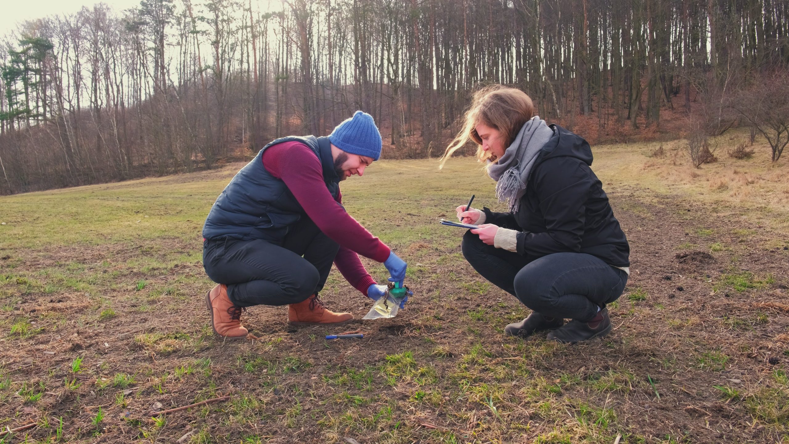
Header image credit: © rohawk via Adobe Stock